Recipev2
Aerial Drone View
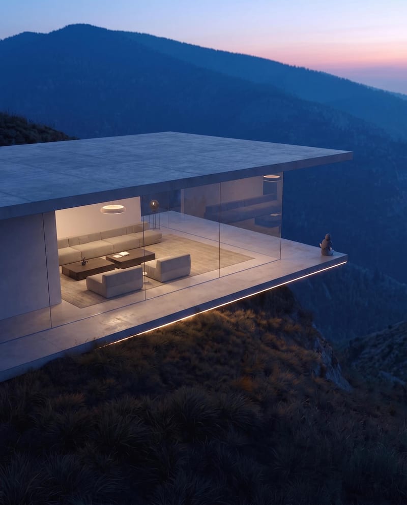
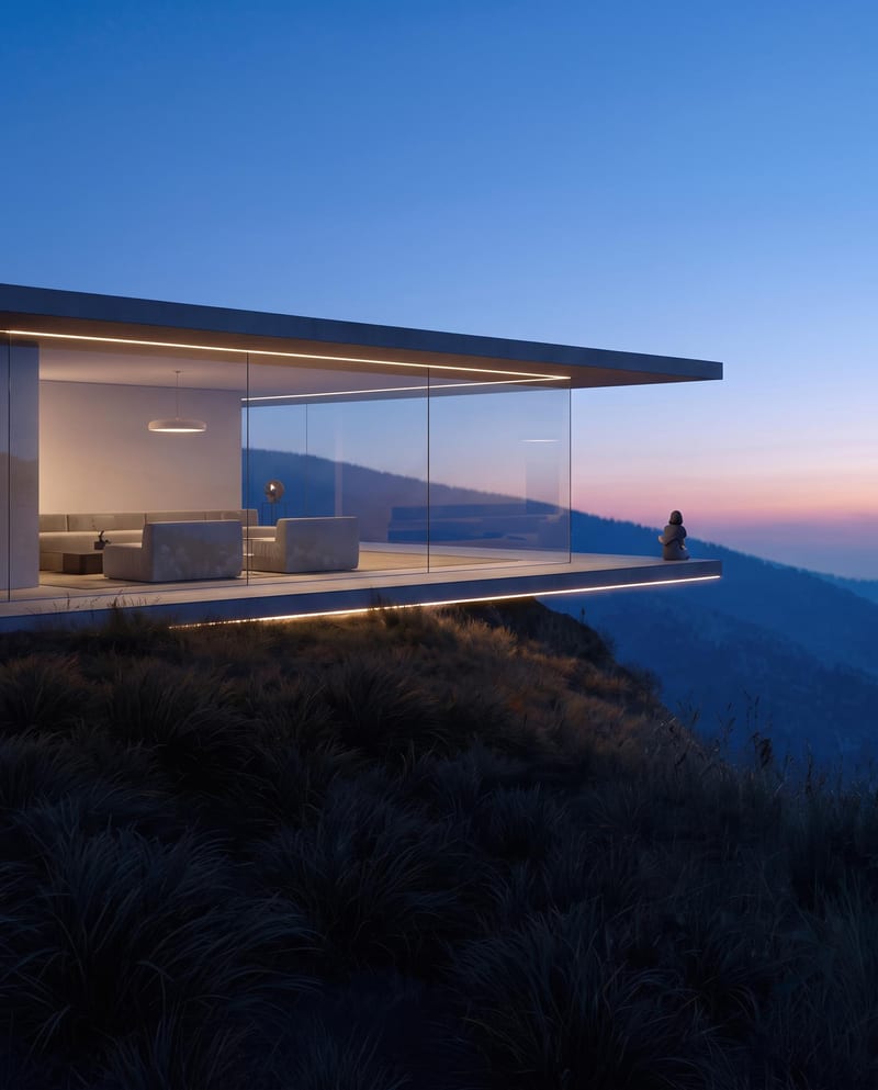
Aerial Drone View
Architecture & Spaces
Turn a source image into a realistic aerial drone view while preserving its scene, environment, subject, and details.
Aerial Drone View
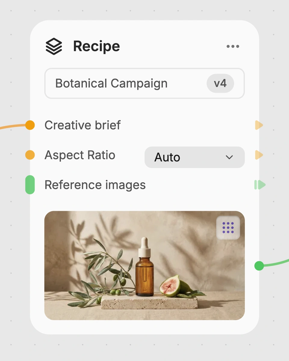
A recipe turns a reusable workflow into a simple set of inputs and outputs. Start with a community recipe and make it your own in Fuser.
1. Choose a recipe
Find a workflow for the result you want. Review what it does and how to use it before opening it in Fuser.
2. Make it your own
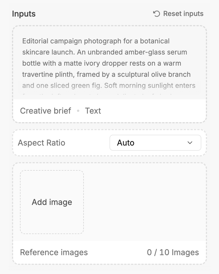
Check the recipe’s available inputs. Add your own text or media where supported, or start with the saved defaults.
3. Run and refine
Run the recipe in Fuser and review the result on your canvas. Adjust any available inputs when you want to try another direction.
Use a single source image to explore aerial perspectives across architecture, photography, and visual planning.
It converts one source image into a realistic aerial drone view. The recipe is designed to keep the same scene, environment, subject, and details while changing the viewpoint.
It can help people working with architecture and spaces, photography, or moodboards and style frames. It is useful when you want to explore an aerial perspective from an existing image rather than start with a different scene.
The recipe has one exposed input: Source Image. Add the image you want to transform, then the recipe produces an output labeled Aerial Drone View.
Yes. Source Image is an editable input in Fuser, so you can replace the saved example with another image before using the recipe.
The saved example shows the recipe’s connected source image and Aerial Drone View output. It demonstrates the intended image-to-image transformation, but it is a saved example rather than a new run for your image.
Choose an image containing a scene, environment, and subject that you want to reinterpret from an aerial perspective. The recipe is most relevant to architectural spaces, photographic scenes, and visual references used in moodboards or style frames.
The output is an image labeled Aerial Drone View. It is intended to present the source scene from an aerial viewpoint while retaining its environment, subject, and details; the particular result depends on the source image you use.
Log in to Fuser, choose a source image, and use this recipe to explore the same scene from an aerial perspective.
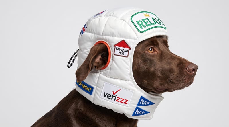
Upload a reference image to receive a detailed, structured text prompt describing how to recreate its visual characteristics.
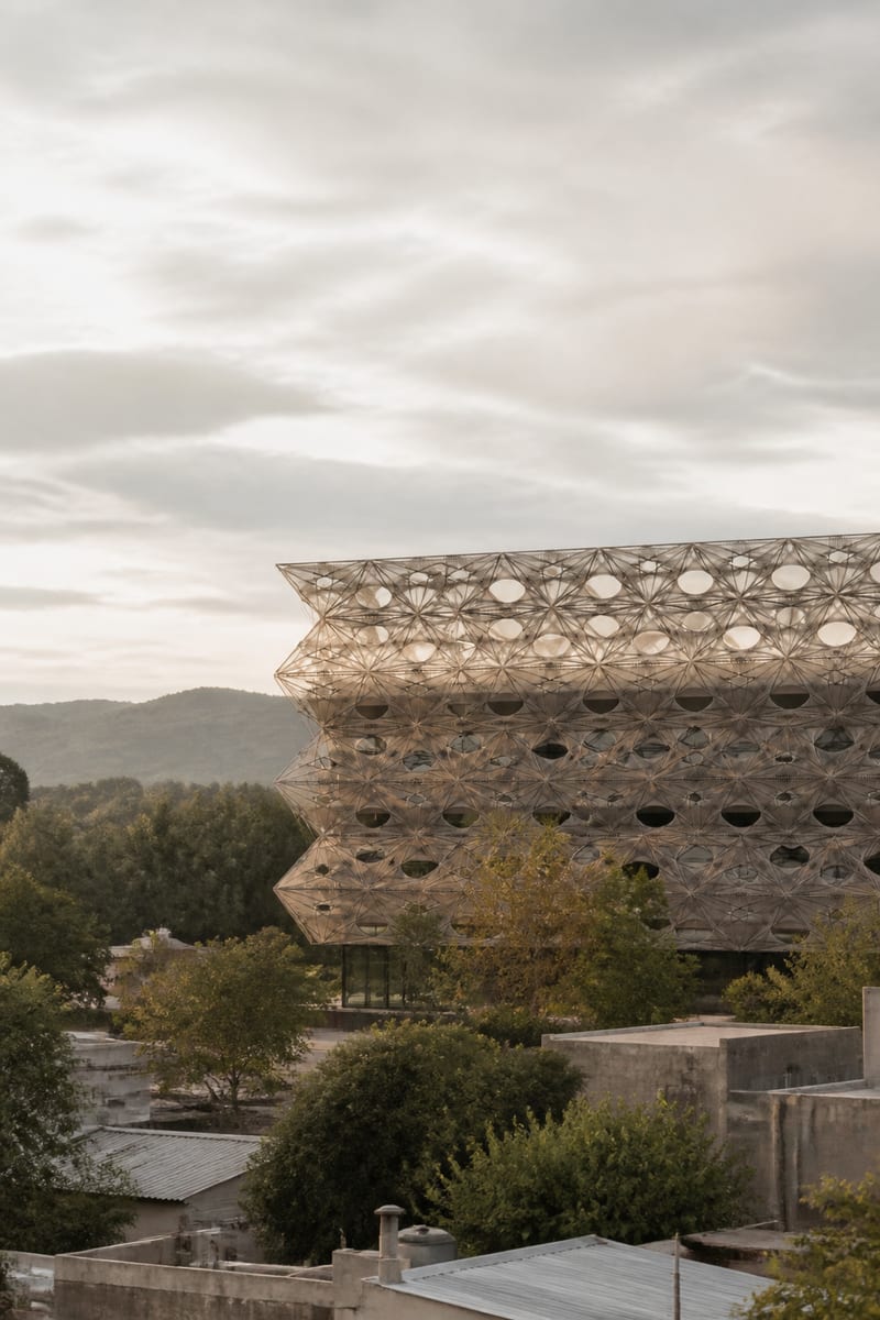
Transform an image into a photorealistic architectural render with an elevated viewpoint, layered urban foregrounds, and soft overcast light.
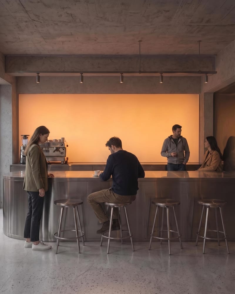
Upload an architectural render to create a populated architecture image with naturally positioned people and a clearer sense of scale.